
Spokane, WA Quiet suburban
Airway Heights
West of Spokane, minutes from Fairchild and the airport.
- Median
- $385K
- Year change
- +2.8%
- Downtown
- 23 min
Spokane, WA
River, trails and room to spread out northwest of Spokane.
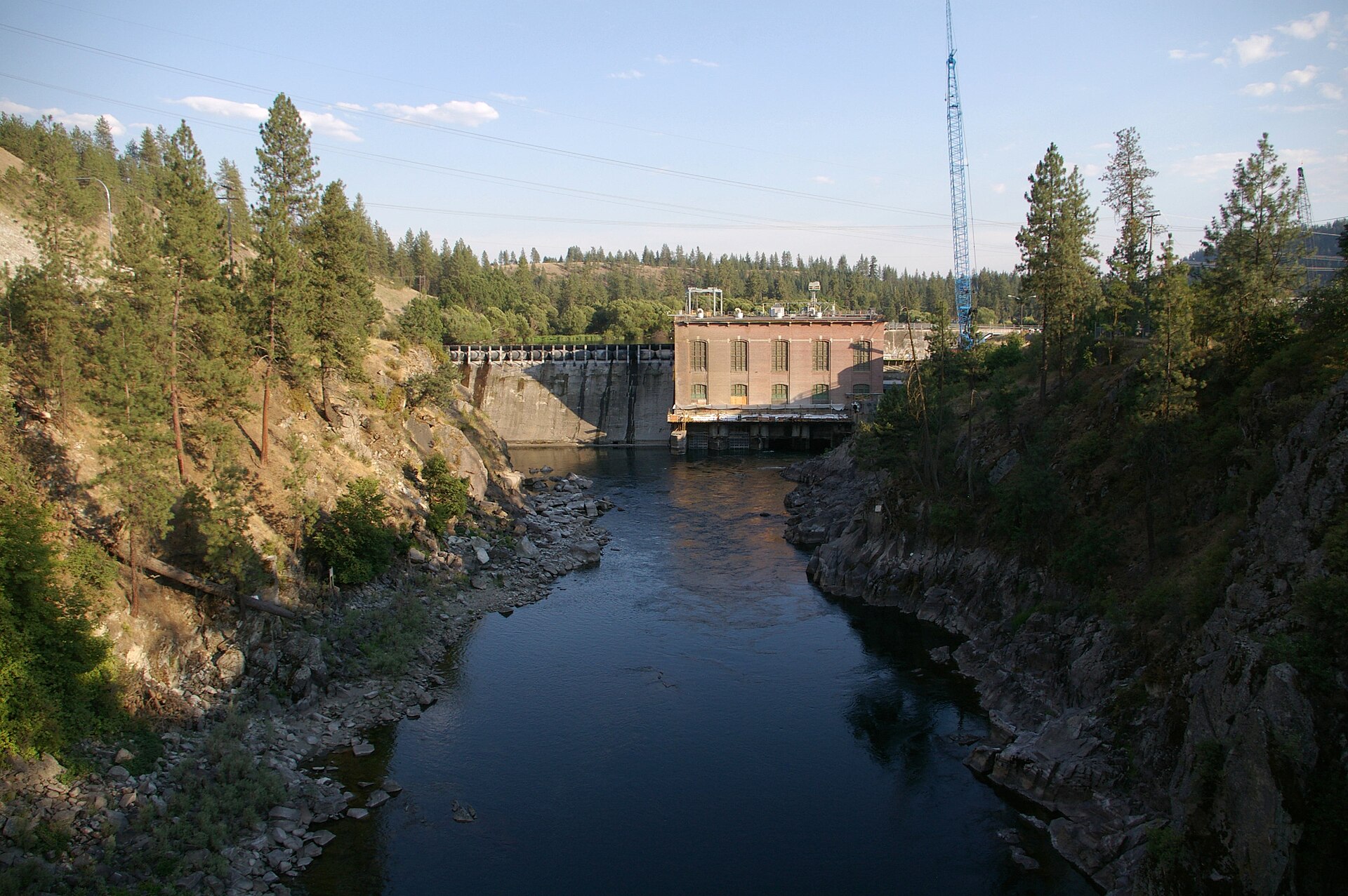
Photo: Mark Wagner via Wikimedia Commons, CC BY 4.0
Nine Mile Falls sits northwest of Spokane along the Spokane River, with Riverside State Park and the Nine Mile Recreation Area close by. Homes run from older cabins and ranchers to newer builds on acreage, with river and forest all around. The highway makes the drive into Spokane relatively easy, but it will still take about 20 minutes.
For anyone who wants trees, water and acreage and doesn't mind the drive. A mixture of rural acreage homes on wells and septic, and newer builds with more modern conveniences. Nine Mile puts you close to the best of the outdoors that Spokane has to offer, which makes the drive into town worth it for many. Long Lake offers excellent boating through the Summer, and Riverside State Park is at your doorstep.
Middle sold price of the 106 homes sold so far in 2026, compared with the same stretch of 2025. Source: Spokane Association of REALTORS MLS (Market Insights), covering the MLS areas that make up Nine Mile. Updated 2026-10-07.
From the Census Bureau's American Community Survey (2019-2023), for the census tracts that make up Nine Mile. Tracts do not line up perfectly with neighborhood lines, so treat these as a general picture.
Average high / low and yearly totals, 2016-2025.
School boundaries and ratings change often. See the schools near Nine Mile on GreatSchools, and confirm boundaries with the district before relying on them.
Ratings come from FEMA's National Risk Index and flood maps. They describe the area, not any one house. Check a specific address before you buy, and ask your insurance agent about coverage.
Typical drive time without traffic, from the center of the neighborhood.
Spokane, WA Quiet suburban
West of Spokane, minutes from Fairchild and the airport.
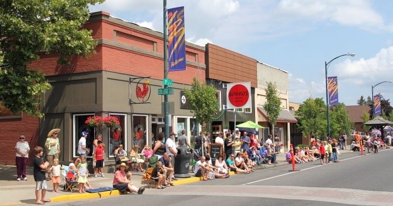
Spokane, WA
A college town about 20 minutes southwest of Spokane.
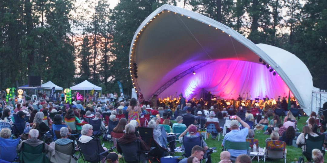
Spokane, WA Quiet suburban
Mid-century homes around Comstock Park and the Manito shops.